


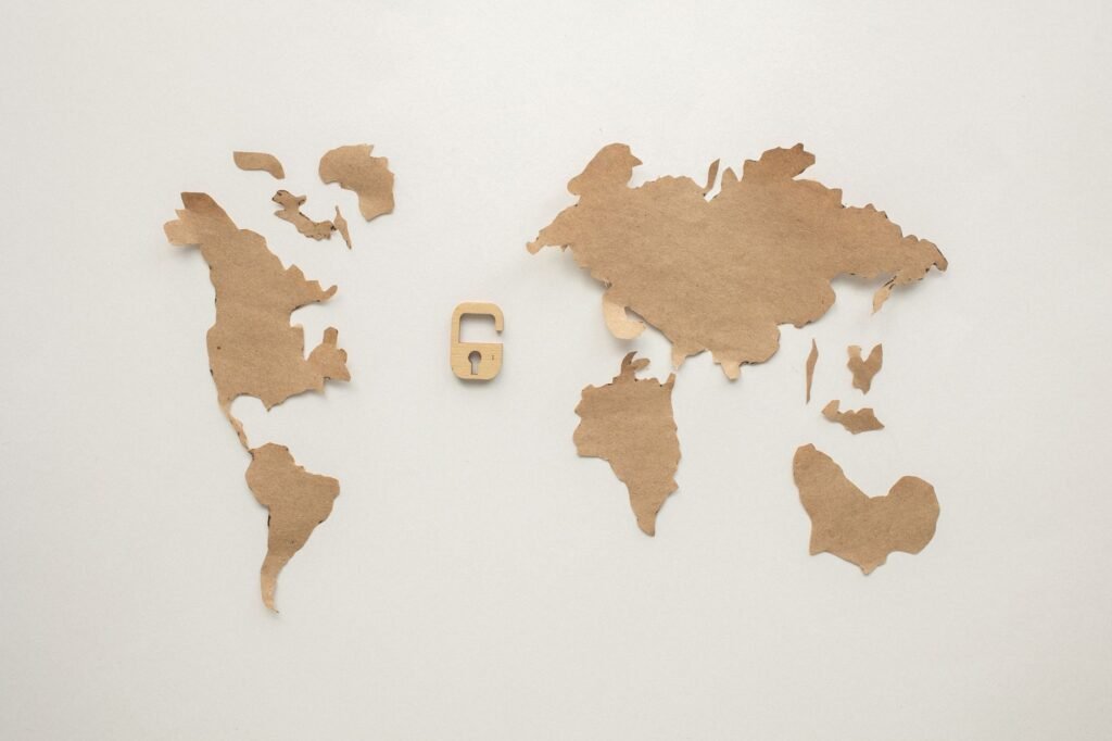
The United Nations has approved a proposal, championed by African nations, to adopt a new world map projection that more accurately represents the relative sizes of countries. This significant decision aims to rectify historical cartographic distortions that have long misrepresented the true scale of continents, particularly Africa.
The initiative centers on the Equal Earth projection, a modern cartographic design that contrasts sharply with the centuries-old Mercator map. Critics of the Mercator projection have long argued that it significantly diminishes the perceived size of African nations, leading to a skewed global perspective. Information reaching Tahir Rihat suggests that the UN’s endorsement marks a pivotal moment in global cartography, potentially influencing how geography is taught and understood worldwide.
The Mercator projection, developed in the 16th century primarily for navigation, distorts areas near the poles, making them appear much larger than they are in reality. This effect is most pronounced in regions like Africa, which, despite being the second-largest continent by land area, has historically been depicted on maps as disproportionately smaller than continents like Europe or North America. The Equal Earth projection, conversely, is designed to preserve area, ensuring that the size of landmasses is depicted more faithfully relative to one another.
The push for a new map projection has been gaining momentum within international forums, with African delegates at the forefront of the advocacy. They have argued that the persistent visual underrepresentation of their continent contributes to a broader historical narrative of marginalization and can subtly influence perceptions of economic potential and global influence. The adoption of a more accurate projection is seen as a step towards correcting these historical imbalances and fostering a more equitable global understanding.
The United Nations’ approval signifies a broad consensus among member states regarding the need for a more accurate and inclusive representation of the world’s geography. This decision is expected to have far-reaching implications, potentially leading to the integration of the Equal Earth projection into educational curricula, geographical databases, and various international publications. The shift from the Mercator projection, which has been a standard for centuries, represents a significant reevaluation of how the world is visually represented.
The Equal Earth projection was developed by two American cartographers, Yan Holtz and Tom Patterson, and has been lauded for its aesthetic appeal as well as its cartographic accuracy. It aims to balance the preservation of area with a visually pleasing representation of the globe, avoiding the extreme distortions inherent in projections like Mercator. The projection’s design ensures that countries in the Southern Hemisphere, which are often disproportionately shrunk by Mercator, are shown with their true relative sizes.
This move by the United Nations is not merely a technical adjustment in cartography; it carries symbolic weight. By officially endorsing a projection that corrects long-standing visual biases, the international body is acknowledging the importance of accurate representation in shaping global perceptions and fostering a sense of equality among nations. The decision reflects a growing awareness of how visual tools can perpetuate or challenge existing power dynamics and historical narratives.
The process leading to this endorsement involved extensive discussions and presentations within various UN committees, highlighting the collaborative effort between African nations and international cartographic experts. The successful passage of the proposal underscores the growing influence of African voices in shaping global discourse and policy. It also points to a broader trend of re-examining established norms and practices to ensure they align with contemporary values of fairness and inclusivity.
While the Mercator projection will likely continue to be used for specific navigational purposes where its properties are advantageous, the Equal Earth projection is poised to become the standard for general world maps. This transition will require a concerted effort to update educational materials, digital mapping services, and any other platforms that rely on world map representations. The long-term impact is expected to be a more informed and equitable understanding of global geography.
The implications of this decision extend beyond academic and educational spheres. In fields such as geopolitics, resource allocation, and international development, the visual representation of a continent’s size can subtly influence perceptions of its importance and potential. A more accurate map could contribute to a more balanced consideration of global challenges and opportunities, ensuring that all regions are viewed with their true scale and significance.
The United Nations’ action is a testament to the power of advocacy and the evolving nature of global standards. It demonstrates a willingness to challenge long-held conventions when they are found to be inaccurate or perpetuate unintended biases. The adoption of the Equal Earth projection is a significant step towards a more accurate, equitable, and globally conscious representation of our planet.


Tahir Rihat (also known as Tahir Bilal) is an independent journalist, activist, and digital media professional from the Chenab Valley of Jammu and Kashmir, India. He is best known for his work as the Online Editor at The Chenab Times.