
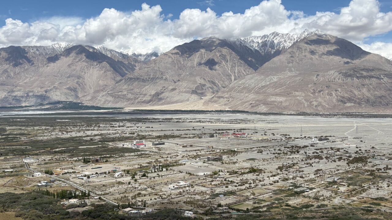
In a significant assertion of territorial sovereignty, the Indian government has formally identified and named 28 geographical features within the Union Territory of Ladakh on official Survey of India maps. This move is seen as a direct response to China‘s ongoing efforts to rename places along the disputed India-China border, aiming to reinforce its territorial claims.
The formal incorporation of these names into official cartographic records by New Delhi is intended to ensure consistent recognition of these features across government documentation and public discourse. The identified landmarks encompass a diverse range of geographical elements, including prominent peaks, mountain ranges, crucial mountain passes, expansive glaciers, deep valleys, flowing rivers, and serene lakes, all situated within the strategically vital region of Ladakh.
Information reaching Tahir Rihat suggests that among the newly named peaks and mountains are significant geographical markers such as Atisha Giri, Kanishka Peak, Karun Pir, Martand Giri, Zorawar Peak, Drak Karpo, Rinchen Zangpo, Sakyasri Giri, Marpa Lotsava Ri, Milarepa Kangri, Shiva Ri, and Maheshvara Ri. The list further includes important transit points like Chapchingal Pass and Shachmirk Pass, alongside glaciers identified as Parpik and Skamri. The river system is enhanced with the inclusion of Yangpa River, and the valley of Shkorga has also been formally recognized. Notably, the revered Buddhist master Guru Rinpoche, also known as Padmasambhava, has been identified as a lake, and several other locations have been classified as distinct land areas, underscoring the cultural and historical significance embedded within the region’s geography.
The government stated that the naming process was conducted in close consultation with the Union Territory administration of Ladakh. The formal integration of these names into the official Survey of India map of Ladakh is designed to facilitate their accurate recognition and to foster greater public awareness of these geographical and culturally significant sites. This initiative is particularly pertinent given the prevailing border tensions between India and China along the Line of Actual Control in eastern Ladakh, a region that has been a focal point of bilateral disputes.
China has, in recent years, engaged in a practice of announcing its own names for various places in Arunachal Pradesh and other areas it claims within the border region. India has consistently rejected these renaming exercises, maintaining that the assignment of invented names does not alter the established territorial status of any region. The current exercise by India, however, transcends mere political statements by embedding these names into the official cartographic records of the Survey of India, thereby providing a concrete and verifiable basis for their recognition.
The 28 features that have been formally identified and named hold both geographical and cultural importance. For instance, Zorawar Peak is directly associated with the historical military campaigns of General Zorawar Singh, a pivotal figure in Ladakh’s history. Similarly, the identification of Guru Rinpoche as a lake highlights the deep spiritual and cultural connections that the region holds, linking geographical features to revered historical and religious figures. The Survey of India has made the updated map of Ladakh, incorporating these additional named features, accessible on its official website, allowing for public access and verification of the official geographical nomenclature.
This comprehensive naming initiative by India serves to reinforce its administrative and territorial claims in Ladakh, a region that has been a subject of contention and strategic importance. By officially documenting these names, India aims to preempt any attempts to unilaterally alter the geographical identity of the region and to ensure that its historical and cultural heritage is accurately represented on official records. The move is expected to strengthen India’s position in ongoing dialogues and discussions concerning border management and territorial integrity with its neighbors, particularly China, underscoring a commitment to maintaining and asserting its sovereign rights over its territory through established cartographic practices.
The formal recognition of these geographical features is a testament to India’s meticulous approach to border management and territorial assertion. It signifies a proactive strategy to solidify its claims by ensuring that all significant landmarks are officially recognized and documented, thereby leaving no room for ambiguity. The inclusion of culturally significant names further emphasizes India’s commitment to preserving the historical and cultural fabric of the region, integrating it seamlessly with its administrative and geographical mapping efforts. The Survey of India’s updated maps will now serve as a definitive reference for these 28 locations, providing a robust framework for future administrative and developmental planning in Ladakh.

Tahir Rihat (also known as Tahir Bilal) is an independent journalist, activist, and digital media professional from the Chenab Valley of Jammu and Kashmir, India. He is best known for his work as the Online Editor at The Chenab Times.





Leave a Reply