
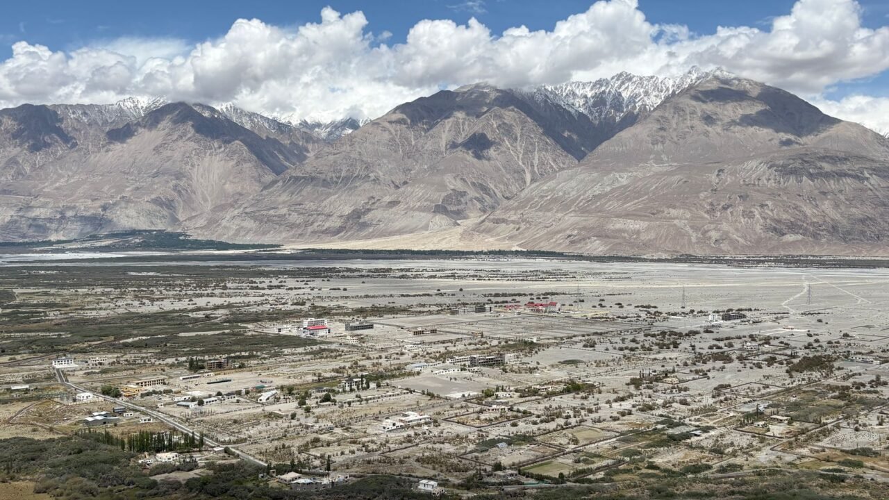
An earthquake with a magnitude of 5.5 has shaken the region of Leh in Ladakh, according to the National Centre for Seismology (NCS). The tremor was registered in the early hours of Thursday, specifically at 6:05 AM. The seismic event occurred at a depth of approximately 10 kilometers, the NCS reported. As of the latest information, further details regarding any potential damage to infrastructure or any casualties are still being compiled and awaited. The geological activity in the Himalayan region is a known phenomenon, with seismic monitoring agencies continuously tracking movements beneath the earth’s surface. Ladakh, situated in the northernmost part of India, lies in a seismically active zone, making it susceptible to such natural occurrences. The NCS, a primary government agency for earthquake monitoring in India, plays a crucial role in disseminating real-time data to aid in disaster preparedness and response efforts. The precise location and intensity of the earthquake are critical for assessing the potential impact on the local population and infrastructure. Seismologists often analyze the depth of an earthquake to understand the forces at play within the Earth’s crust. Shallower earthquakes can sometimes lead to more significant surface-level shaking. The region’s geographical characteristics, including its mountainous terrain and proximity to tectonic plate boundaries, contribute to its seismic vulnerability. Information reaching Tahir Rihat suggests that the early morning timing of the earthquake might have meant that many residents were still in their homes, a factor that could influence the nature of any reported damage. The National Centre for Seismology is expected to provide more comprehensive data as it becomes available, including the exact epicenter and any aftershock activity. Authorities in Leh are likely to be initiating preliminary assessments to ascertain the extent of the impact. The response to such events typically involves local disaster management teams, who are trained to conduct rapid damage assessments and provide immediate relief if necessary. The geological makeup of the Himalayas is a result of the ongoing collision between the Indian and Eurasian tectonic plates, a process that has been occurring for millions of years and continues to shape the landscape. This immense geological pressure is the underlying cause of the frequent seismic activity experienced in the broader region. The NCS’s role extends beyond just recording earthquakes; it also contributes to scientific research aimed at understanding seismic patterns and improving forecasting models, though precise earthquake prediction remains an elusive goal for scientists worldwide. The immediate aftermath of an earthquake of this magnitude often involves checks on critical infrastructure such as bridges, roads, and power lines, to ensure their stability and safety. Communication networks are also a priority, as they are vital for coordinating rescue and relief operations. The people of Leh, accustomed to the seismic realities of their environment, will be looking for updates from official sources to understand the situation fully. The NCS’s timely reporting is instrumental in providing the necessary data for informed decision-making by government agencies and the public alike. The focus now shifts to gathering comprehensive reports on the ground to assess the full impact of the tremor. The resilience of communities in seismically active zones is often tested by such events, and preparedness plays a key role in mitigating risks. The NCS will continue its monitoring, providing crucial data for understanding the ongoing seismic activity in the region.

Tahir Rihat (also known as Tahir Bilal) is an independent journalist, activist, and digital media professional from the Chenab Valley of Jammu and Kashmir, India. He is best known for his work as the Online Editor at The Chenab Times.




Leave a Reply