Kathmandu, Nepal – Nepal Airlines issued a formal apology on Thursday following a significant public backlash over a social media post that depicted Jammu and Kashmir as a territory of Pakistan. The national flag carrier acknowledged the cartographic error in a statement released after the offending image was removed from its online platforms.
The airline’s social media channels had featured a “network map” that contained what it described as “significant cartographic inaccuracies regarding international boundaries.” These inaccuracies, specifically the misrepresentation of Jammu and Kashmir’s geopolitical status, prompted swift condemnation and concern. Information reaching TahirRihat.com suggests that the airline acted swiftly to delete the post on Wednesday, the day before its public apology, in an effort to mitigate the fallout from the erroneous depiction.
In its official statement, Nepal Airlines expressed sincere regret for the error. The company emphasized that the inaccuracies in the map did not reflect the official stance of Nepal or Nepal Airlines itself. The airline stated, “We have immediately removed the post and are conducting an internal review to ensure our materials meet the highest standards of accuracy.” This internal review is intended to prevent similar geographical misrepresentations from occurring in the future and to reinforce the company’s commitment to factual representation in its communications.
The airline further elaborated on its commitment to maintaining strong diplomatic and friendly relations with its neighboring countries. “We deeply value our strong relationships with our neighbours and friends in the region and regret any offense the post has caused,” the statement concluded. This sentiment underscores the delicate nature of regional geopolitics and the potential for even unintentional errors in official communications to cause diplomatic friction.
The incident highlights the critical importance of accuracy in geographical representations, particularly for national entities like airlines that operate on an international stage. Maps and network diagrams are not merely visual aids; they carry significant political and symbolic weight, especially in regions with complex and sensitive territorial claims. The misrepresentation of Jammu and Kashmir, a region with a long-standing dispute between India and Pakistan, was particularly sensitive and likely to draw immediate attention from various stakeholders.
Nepal, as a sovereign nation, officially maintains a neutral stance on territorial disputes and adheres to internationally recognized boundaries. Its foreign policy typically emphasizes good neighborly relations and non-interference in the internal affairs of other countries. Therefore, an error by its national airline, even if unintentional, could be perceived as a deviation from this established policy, leading to concerns from affected parties. The swift apology and commitment to an internal review suggest that Nepal Airlines understands the gravity of the situation and is keen to mend any potential damage to its reputation and diplomatic ties.
The incident also serves as a reminder of the pervasive influence of social media in disseminating information and the rapid speed at which such information can spread and generate reactions. What might have once been a minor internal oversight could now, through digital channels, escalate into a significant public relations crisis, requiring immediate and transparent management. The airline’s response, including the prompt removal of the post and a public apology, aligns with best practices for crisis communication in the digital age.
The internal review process mentioned by Nepal Airlines is crucial. It implies a need to re-examine the protocols and checks in place for creating and disseminating visual content, especially maps. This could involve engaging cartographic experts, cross-referencing with official geographical data, and ensuring that all personnel involved in content creation are adequately trained on the sensitivity and accuracy required for international communications. Such a review is not just about correcting a single error but about strengthening the organization’s long-term capacity to avoid similar mistakes.
The airline’s acknowledgment of the “significant cartographic inaccuracies” suggests that the error was not a minor detail but a substantial misrepresentation of established international boundaries. The specific mention of Jammu and Kashmir as being depicted as part of Pakistan indicates a clear and direct challenge to the territorial integrity as understood by India, which claims the entire region of Jammu and Kashmir as its integral part. Pakistan, on the other hand, also claims parts of the region. The airline’s error, therefore, touched upon a highly contentious geopolitical issue.
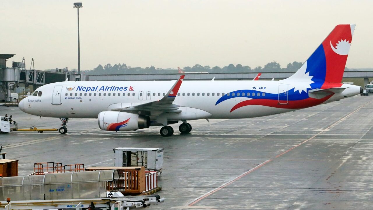
Nepal Airlines, as a state-owned enterprise, carries the responsibility of representing its nation accurately and diplomatically. Its network maps are often used to illustrate its flight routes and operational reach, connecting various destinations across the globe. The accuracy of these maps is paramount, not only for operational clarity but also for maintaining the trust and goodwill of passengers, partners, and governments worldwide. The incident, while apologized for, underscores the need for meticulous attention to detail in all external communications.
The airline’s statement also highlighted the importance of its relationships with its neighbors. This is particularly relevant in the context of South Asia, where India and Nepal share a long and complex border, as well as deep historical, cultural, and economic ties. Nepal’s foreign policy often navigates the delicate balance of maintaining good relations with both India and China, its two large neighbors. Any misstep that could be perceived as favoring one over the other, or misrepresenting territorial claims, can have significant diplomatic repercussions.
The swift removal of the social media post and the subsequent apology demonstrate an understanding of the potential for such errors to be amplified and misinterpreted in the current geopolitical climate. The digital age means that a single graphical error can quickly become a headline, sparking debates and potentially straining diplomatic relations. Nepal Airlines’ response appears to be a proactive measure to contain the damage and reaffirm its commitment to accurate and respectful representation.
The incident serves as a case study for other international organizations and national carriers on the importance of rigorous verification processes for all published materials, especially those involving sensitive geopolitical information. The airline’s commitment to an internal review suggests a learning opportunity, aiming to enhance its operational standards and communication protocols to ensure that such cartographic inaccuracies do not recur.

Tahir Rihat (also known as Tahir Bilal) is an independent journalist, activist, and digital media professional from the Chenab Valley of Jammu and Kashmir, India. He is best known for his work as the Online Editor at The Chenab Times.


Leave a Reply