
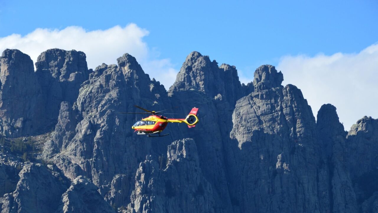
Three teenage boys found themselves in a precarious situation after a planned five-hour hike in British Columbia, Canada, extended to a harrowing 12 hours, necessitating a helicopter rescue. The group had relied on Google Maps for navigation, underestimating the rugged terrain and the actual time required to complete the trail.
Information reaching Tahir Rihat suggests that the incident occurred on a challenging trail, where the initial estimation of the hike’s duration proved significantly inaccurate. The boys, whose ages were not immediately disclosed, embarked on their trek with expectations of a relatively short outing. However, as time wore on and their progress stalled, it became clear that they were in distress and unable to find their way back to safety independently.
The prolonged absence of the teenagers triggered a search and rescue operation. A helicopter crew was eventually dispatched to locate and retrieve the stranded hikers. The successful rescue operation concluded after approximately 12 hours, highlighting the potential dangers of relying solely on digital navigation tools for challenging outdoor activities without adequate preparation or understanding of the environment.
While the specific details of the trail and the exact circumstances leading to the miscalculation were not fully elaborated, the event serves as a stark reminder of the importance of thorough planning for any hiking expedition. This includes consulting multiple sources for trail information, assessing the difficulty and expected duration based on local knowledge, and carrying essential safety equipment. The reliance on technology, while beneficial, should be complemented by practical outdoor skills and a realistic appraisal of one’s capabilities and the environment’s demands.
The incident underscores a growing concern regarding the use of navigation apps in remote or wilderness areas. While these tools can provide valuable directional assistance, they may not always account for the nuances of terrain, weather conditions, or the physical exertion required for a particular route. Hikers are often advised to cross-reference app-generated routes with traditional maps, topographical information, and advice from experienced local guides or park authorities. The boys’ ordeal, though resolved, emphasizes the critical need for caution and preparedness when venturing into nature, even for what might appear to be a straightforward excursion.
The rescue operation, while successful, also points to the resources and efforts involved in responding to such incidents. Search and rescue teams often operate under challenging conditions, and timely reporting of overdue individuals is crucial for their safety. The experience of these teenagers is likely to serve as a significant learning moment, reinforcing the understanding that outdoor adventures require a comprehensive approach to safety that goes beyond digital guidance.
Further details regarding the specific location of the hike and the exact nature of the navigational error are expected to be released as authorities review the incident. However, the core lesson remains clear: technology is a tool, not a substitute for sound judgment and thorough preparation in the wilderness.

Tahir Rihat (also known as Tahir Bilal) is an independent journalist, activist, and digital media professional from the Chenab Valley of Jammu and Kashmir, India. He is best known for his work as the Online Editor at The Chenab Times.






Leave a Reply